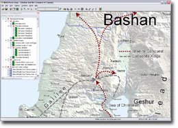
Somehow I’ve managed to avoid buying BibleWorks for all these years (using Logos instead), but now I see a new version has been announced. There are a lot of new features apparently, but the one of interest here are the satellite maps. In their words:
BibleWorks comes with a set of beautiful satellite maps that you have to see to believe! The collection includes a full set of editable site and terrain overlays for major locations in Israel and Egypt, along with detailed overhead and elevation data and a comprehensive list of archaeological sites. You can even create your own map views, select sites to display, annotate key locations and trace journeys or battle lines.
 If you haven’t seen it already, take a look at my review of Electronic Maps for Bible Teaching. (And no, I still haven’t made it to doing Part 2.)
Update: The program is for sale from Rejoice Christian Software for $349 with free shipping. In my experience, they usually offer the lowest prices.