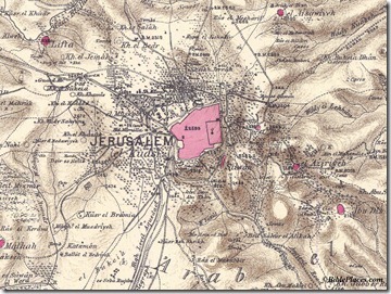
Question: I was wondering if you know of any websites that sell maps of Israel (4 x 3 feet or so) for decorative wall mounting? I found some information about Palestinian Exploration Fund linen maps selling for $200-400, dating back to 1800s but that’s about it. I prefer a vintage look over a modern National Geographic look. If you have any leads, could you pass them on? Thanks! –J.K.
Answer: I don’t know of anywhere to purchase printed maps like these, but perhaps you could find some high-res ones online that you could enlarge and print. Because any created before 1923 are no longer under copyright restriction (in the U.S.), many are available online. I would recommend that you begin with the following sources:
http://www.jnul.huji.ac.il/dl/maps/pal/html/
http://jewishhistory.huji.ac.il/links/maps.htm
http://www.lib.utexas.edu/maps/historical/index.html
Another possibility is the collection of Survey of Western Palestine maps that we produced. These are very high resolution on the CD (~7500×6500 pixels) and in my archive I have even higher-resolution images available by request.
Readers who have other suggestions are welcome to comment below.

One thought on “Q&A: Printed Vintage Maps of the Middle East”
Those are some good links- especially that JNUL One. Thanks!
Here's another link to a site with historical maps from around the world including a nice group depicting Palestine:
http://www.davidrumsey.com
I've downloaded some huge files from there in the past…