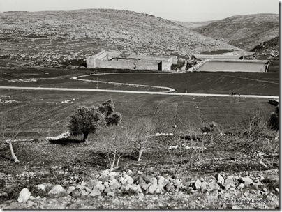
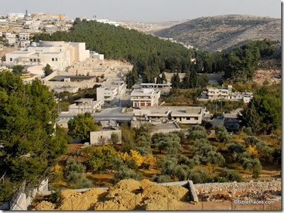
There’s a recent article on Khirbet Qeiyafa that is relevant for anyone interested in the discussion concerning the site’s identity as Shaaraim (for a primer on Qeiyafa, go here) or in archaeological methodology. Since the article’s thesis is that the survey results contradict the excavation results, it is significant that the author is Yehudah Dagan, director of the Judean Shephelah Survey Project which began in 1977.
The article is entitled “Khirbet Qeiyafa in the Judean Shephelah: Some Considerations” and it was published this year in Tel Aviv, volume 36, pages 68-81. If you or your institution has a subscription to Ingenta, you can access it online (or pay $39).
This is the article’s abstract:
The excavations at Khirbet Qeiyafa have attracted attention recently following the discovery of a city gate and the proposals of the excavators that it be dated to the 10th century BCE and identified with biblical Sha’arayim. Based on my survey of the site, I suggest an alternative settlement history and a different interpretation of the construction stages of the circumference wall. I also propose an alternative identification of the biblical city of Sha’arayim.
In short, Dagan’s conclusions concerning the settlement of the site are nearly the opposite of what the excavators have reported. Dagan found pottery from Early Bronze, Middle Bronze, and Iron I, but the excavators apparently found nothing significant from these periods. The chief period of occupation according to the excavators is Iron IIa (roughly the time of King David), and Dagan says he found nothing from this period! The excavators then say the site was abandoned until the Hellenistic period, but Dagan says that the majority of potsherds from the site are from the Iron IIb-c period. Dagan also found material from Roman, Byzantine, Early Islamic, Mamluk, and Ottoman periods, about which little has been said by the archaeologists (to my recollection).
Survey |
Excavation |
|
| Early Bronze | Yes | No |
| Middle Bronze | Yes | No |
| Iron I | Yes | No |
| Iron IIa | No | Chief period |
| Iron IIb-c | Majority | Nothing |
| Hellenistic | Yes | Yes |
| Roman | Yes | ? |
| Byzantine | Yes | ? |
| Early Islamic | Yes | ? |
| Mamluk | Yes | ? |
| Ottoman | Yes | ? |
Any way you approach it, what we have here are startlingly different conclusions from survey results versus excavation work. It is one thing to find material from one or two periods which were not represented in a survey (which is limited to potsherds found on the surface). But this is almost a complete mismatch, making one wonder if they are studying the same site.
To say it a different way, it’s less significant that Dagan did not find any Iron IIa material in his survey than it is that Garfinkel has found no Iron IIb-c material. Sites are not always evenly settled (or preserved) and archaeologists often find a period of occupation missing in one area of the tell.
But Iron IIa was relatively short-lived (less than 100 years) and Iron IIb-c lasted several centuries (c. 930-586). Dagan claims that the majority of the potsherds he collected was from this period, and that’s not surprising given the large population of the Shephelah during the Divided Monarchy. What is quite unusual, and the cause of much discussion last year, was Garfinkel’s conclusion that this was a single-period site in Iron IIa. He said that it was settled, quickly fortified, and then abandoned within a generation.
The point here isn’t to resolve the debate, but merely to note its existence. It certainly is a lesson in the need for excavation, and not a reliance upon survey alone. However, if Dagan’s survey has merit, the discrepancies with the present excavation results require some explanation. An example of the severity of the disagreement concerns the famous Iron Age gate, which Dagan says may actually be Hellenistic! He writes,
Hellenistic finds were discerned in the passage and all the chambers of the gate, and a floor with Hellenistic pottery was exposed in the southeastern chamber of the gate, resting on bedrock (Garfinkel and Ganor 2008c: 128–129). Four-chambered gates are not alien to the Hellenistic period (e.g., Mount Gerizim) (page 76).
Another lesson from this matter: interpretations are only as good as the data they are based on. If Dagan is right (and I don’t know that he is), all of the discussion about identifying the site as Shaaraim, Ephes-dammim, or other may be misguided.
Stay tuned. No doubt Garfinkel has some new data from his 2009 excavations and this article has undoubtedly lit some fires. Perhaps it is not irrelevant that Dagan conducted his survey under the auspices of Tel Aviv University and Garfinkel is a professor at the Hebrew University of Jerusalem.
(As far back as Yadin and Aharoni, if one said black, the other said white.) We look forward to clarification.

