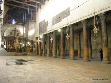
The Church of the Nativity in Bethlehem was built in the middle of the 6th century, making it more than 1400 years old. Unlike Jerusalem’s Church of the Holy Sepulcher, it escaped the Persian destruction in 614 and the Egyptian attack in 1009. The church not only suffers from age, but from the inability of its occupants to cooperate with each other. But now the Palestinian Authority has announced plans to renovate the church. From the Associated Press:
The Palestinian government announced Monday it is planning an ambitious restoration project for the ancient church that marks the traditional birthplace of Jesus, an important Christian site that draws millions of visitors.
The renovation of Bethlehem’s Church of the Nativity is expected to take several years and millions of dollars, according to Ziad Bandak, an official overseeing the restoration.
Bandak said this is the first comprehensive restoration project on the church since it was completed in the fourth century. He said the roof, pillars and mosaics in the church all need work.
“Rain leaking in has caused great damage to all of those, which led us to move quickly to repair the damage,” Bandak said, adding that the project would also aim to fix general wear and tear on the centuries-old church.
The fortress-like church, built in the classic style with a long central area under a basilica lined with columns on both sides, is dark and damp. The main Christmas event, the Midnight Mass, is celebrated in the 19th century St. Catherine’s Church next door to the Church of the Nativity.
The Palestinian government has appealed to European and Arab nations to help fund the project, Bandak said. He said the three churches that administer sections of the church have agreed to the project. Officials from the Latin, Greek and Armenian churches could not be reached for comment. Their rivalries have often led to fistfights between monks at the holy site.
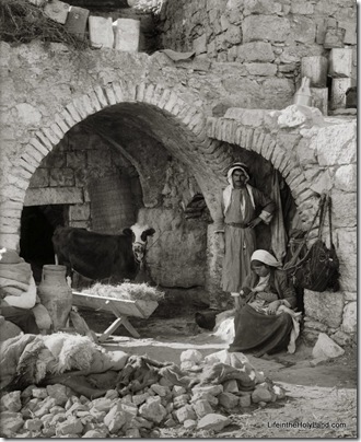
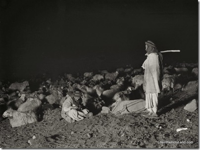
The full story is here. For modern photos of the church, see this Pictorial Library volume. For historic black-and-white photos, see this American Colony CD.


